How Our Customers Use NOAA Data

CEO & Co-founder
NOAA is under threat
The US National Oceanic and Atmospheric Administration (NOAA) is one of the world’s leading scientific agencies. NOAA has a three part mission:
- To understand and predict changes in climate, weather, ocean and coasts.
- To share that knowledge and information with others.
- To conserve and manage coastal and marine ecosystems and resources.
Throughout my career, I’ve been fortunate to interact with many brilliant NOAA scientists and technologists---folks who have dedicated their lives to NOAA’s mission, foregoing potentially much more lucrative opportunities in the private sector. On Feb. 27, we learned that over 800 of these people had been laid off. Given the published intent of Project 2025, there is legitimate concern that this is just the beginning of a broader intent to dismantle / privatize NOAA.
Since starting Earthmover, I’ve gained even deeper appreciation for the critical role of NOAA, not just in research but in the day-to-day operations of thousands of companies, supporting innovation and economic growth. Two weeks ago, I shared the following message on LinkedIn:
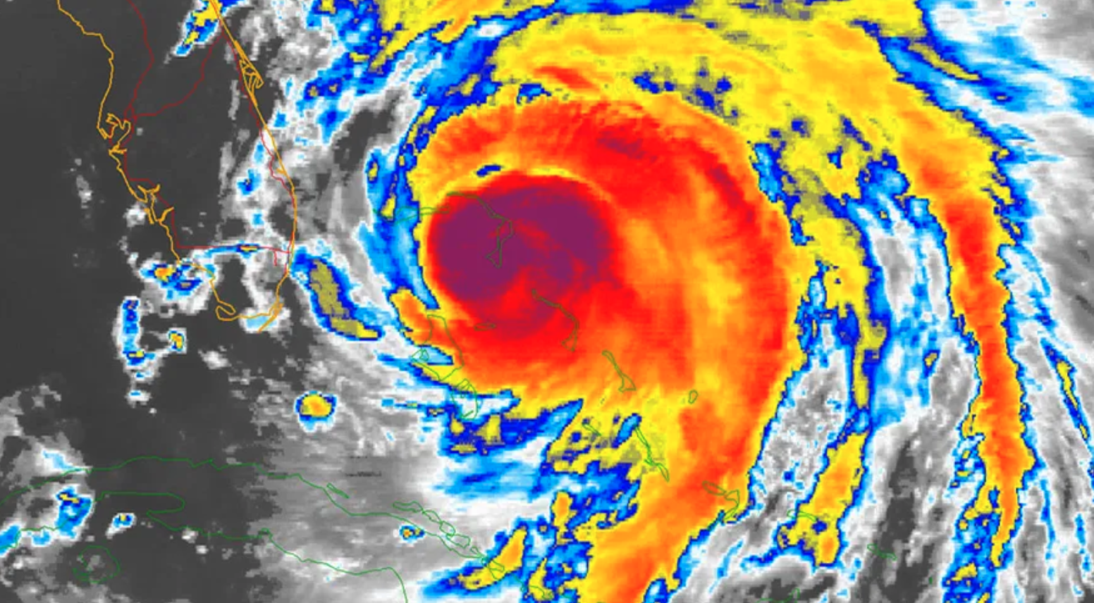
The general public, and even many sophisticated tech leaders and investors, truly underestimate the reach and impact of NOAA data and services. As a data platform company serving customers in weather, climate, and geospatial domains, Earthmover gets a front-row seat to what sort of data companies actually use. Guess what? Every single one of our private-sector customers has the majority of their data coming from public-sector data providers like NOAA, NASA, ECMWF, and Copernicus. Why? Not only because it’s free. It’s also the highest quality, most reliably maintained, most consistently useful data about the planet that exists.
The reckless moves being made to downsize NOAA risk jeopardizing our nation’s leadership in weather and environmental resilience. While I certainly believe that the private sector has an important role to play in the weather enterprise, the private sector cannot and should not replace NOAA’s critical role. If these cuts are not blocked or rolled back, it could take decades for us to recover from the damage being done.
To provide more detail and depth, I recently reached out to some of Earthmover’s customers to ask for a perspective on NOAA’s value in their own words. Not everyone was free to go on the record, but some were. Here’s a sampling of the responses.

Kettle provides insurance and reinsurance for property owners in areas affected by catastrophic climate events.
At Kettle, we utilize NOAA’s comprehensive climate and weather data to enhance our wildfire risk assessment models. NOAA’s datasets provide critical insights into historical fire behavior, atmospheric conditions, and emerging climate patterns, helping us to refine our catastrophe models that apply advanced machine learning techniques. Their commitment to scientific excellence enables us to deliver more accurate, data-driven solutions for protecting communities from the growing threat of wildfires.
Noam Rosenthal, Head of Technical Product

Pelmorex is the 3rd largest weather information provider globally, the 4th largest digital network for desktop and mobile platforms in Canada and the leading digital weather information company in Spain.
Pelmorex Weather Source leverages a wide range of NOAA data products to help our US commercial clients achieve significant cost savings and revenue gains. Top brands rely on us, and by extension, NOAA, for critical weather information supporting numerous use cases such as energy trading, consumer demand forecasts, and employee staffing levels to name a few. Given the importance of weather, ensuring the stability of NOAA is therefore crucial, not only for our business but also for major American companies.
Jon Weisbaum, Director of Meteorological Engineering

Sylvera rates projects in the voluntary carbon market with the goal of enabling their customers to invest in the most meaningful initiatives. I
We assess the current likelihood of carbon stock loss to the project based on exposure to storms (storm spurs, tropical storms, tropical depressions etc.). To do so, we rely on NOAA data, specifically IBTrACS, which is currently the most complete global collection of tropical cyclones openly available, with a standard update of 2 times per week. The likelihood of carbon stock loss is used in ratings by combining historic occurrence data and trend analysis of extreme storm events with vulnerability assessments and mitigation measures to quantify one of the six key risk pillars that determine a project’s overall risk associated to the permanence of carbon stocks. This data drives investments in offsetting projects successfully sequestering carbon for an atmospherically significant time (e.g. 100 years)
Freddie Ruxton, Lead Platform Engineer

Rainmaker is pioneering a modern precipitation enhancement system. Rainmaker develops and incorporates radar validation, weather resistant drones, numerical weather modeling, and sustainable cloud seeds into an effective water resource solution.
NOAA public datasets like NEXRAD, GOES, HRRR, MRMS are essential to our weather modeling efforts here at Rainmaker. Without this data, it’d be much more difficult for us to provide verifiable analytics for cloud seeding operations.
Wesley Yang, Data Scientist

Jua develops an AI-driven “large physics model” to provide ensemble weather forecasts to support energy trading.
We love NOAAs open data, from NWP, to observations, to mosaic satellite products etc.
Marvin Gabler, Co-Founder & CTO
University of Wisconsin-Madison
Our project, ALIVE is training NOAA satellite observations to learn about the carbon cycle to provide near-real time predictions to better monitor crop growth, carbon sequestration, and the impacts of extreme events. We are using geostationary (‘weather’) satellites from the NOAA GOES-R series because NOAA observations help with so much more than just weather; we’re using them to help understand life on earth.
Professor Paul Stoy
An anonymous testimonial
Another customer was not able to put their name out there right now but shared the following perspective on NOAA’s impact.
- NOAA produces Sea level rise data, coastal flood frequency data. They provide these data sets in online tools that allow communities to use the data when planning for the impacts of coastal storms exacerbated by sea level rise.
- NOAA produces a data set called Atlas 15. Other agencies including FEMA rely on this data to produce flood maps. This data set provides precipitation frequency data. Again, this data is critical for communities to access and use when developing infrastructure, and seeking to minimize risk to rain events that are increases in intensity.
- NOAA’s Digital Coast platform hosts an array of coastal data, tools, and trainings that have been developed to meet the needs of the coastal management community. Data sets range from economic data to satellite imagery to visualization and predictive tools and are used by coastal and Great Lakes communities to enhance resilience.
- NOAA’s fisheries survey data and stock assessments are used to determine if a fishery is overfished or experiencing overfishing. This is used to set annual catch limits to ensure commercial and recreational fisheries are sustainable and guide rebuilding if they are not. This supports $321B in annual sales and 2.3M jobs (also data generated by NOAA).
Protecting Essential Services
These are just a few examples of the many ways NOAA’s climate and weather data are used. The benefits of NOAA’s work to the economy and society are enormous and should not be undervalued.
CEO & Co-founder